Well, worry no longer. In two weeks we have made up virtually the entire deficit and are now being hit by a modest atmospheric river.
First, take a look at a plot of the actual (red) and normal (blue) precipitation for the past 12 weeks at Sea-Tac Airport and Pasco. On October 15th, both locations (and essentially the whole region) was way dry, but during the last 1.5 weeks the skies have opened, with nearly 5 inches at Sea Tac and 1 inch over the desert of Pasco.


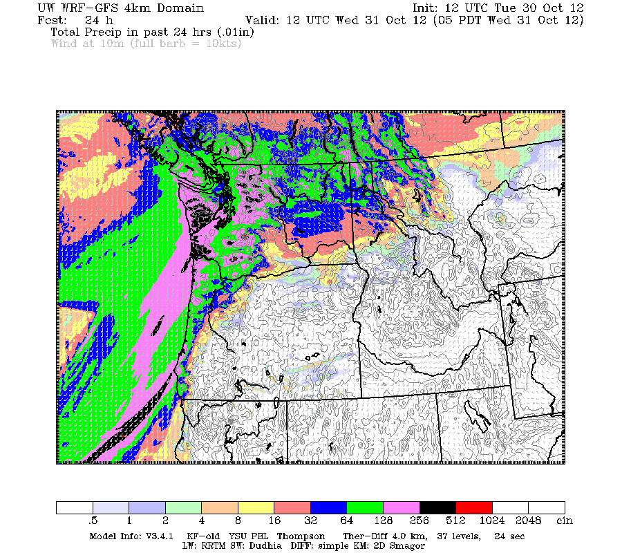


Want to see something neat that we could never view before a year ago?
Here is the one-hour rainfall ending 5:02 PM from the Langley Hill coastal radar. You can see the profound enhancement by the Olympics, with light rain offshore (few hundredths of an inch) to roughly .6 inches in an hour over the mountain slopes.

And would you like to see the most classic Olympic Mountain rainshadow you will ever see? Then examine this recent radar image from the Camano Island radar. Pouring all over the region, BUT NO RAIN from Sequim to northern Whidbey Island. Nothing. You can see why a lot of folks retire in Sequim and Port Townsend.

I have a lot to say regarding the post-mortem for Sandy, but I think my profession did a very good job in this case (so we don't have to worry about being arrested in Italy hopefully!). .
But we can do even better. USATODAY had a good editorial on the subject (found here).
 |
| In Italy, they convict forecasters that get the forecast wrong |
.gif)


Thanks, Cliff, for confirming what my imperfect data gathering has told me. That is, that in late October I've had about as much rain fall into my old, worn, unscientific gauge as I would have gathered the last several months.
ReplyDeleteConsidering that it's still coming down, and likely will be tomorrow as well, I think by month end I'll catch up and pass the average yearly total for the last two weeks.
Something there is about the washboard structure of the ridges here in N.E. Seattle that seems in addition to the elevation to scrub measurably more water out of the atmosphere than I read accounted for not much further south. But then, it isn't scientific so that's as possibly just wishful observation on my part.
Re: USA Today post
ReplyDeleteDr. Mass, to what extent are the numerical schemes to blame for poor GFS performance? Does the Euro model have better, perhaps more modern, algorithms that reduce the truncation and rounding errors? Or is is a parameterization issue? It seems like incorrectly resolving the upscale diabatic forcing would lead to significant divergence from the 'real' solution. Thanks!
Follow-up comment, Cliff. This morning I have 2 inches in my gauge since yesterday's measurement. Not bad for 24 hours in Seattle and with still 16 hours left in the day.
ReplyDeleteI missed the rain and active weather. It's nice to have it back.
Does the European model work consistently better than the American, or was it somehow able to better predict the course of events given the particular conditions influencing Sandy? Is it a fact that the European model is *always* (or even *usually*) better?
ReplyDeleteYou've blogged before about the lack of supercomputer resources allocated to the NWS. Would increased computation have made the US prediction more accurate, or do the underlying physic simulation and algorithms need to be improved?
ReplyDeleteSpencer...yes, the lack of computer resources makes it difficult for the National Weather Service to equal the performance of the European Center.
ReplyDeleteLa Vida,
It is probably not numerical scheme differences, but better data assimilation and higher resolution
...cliff